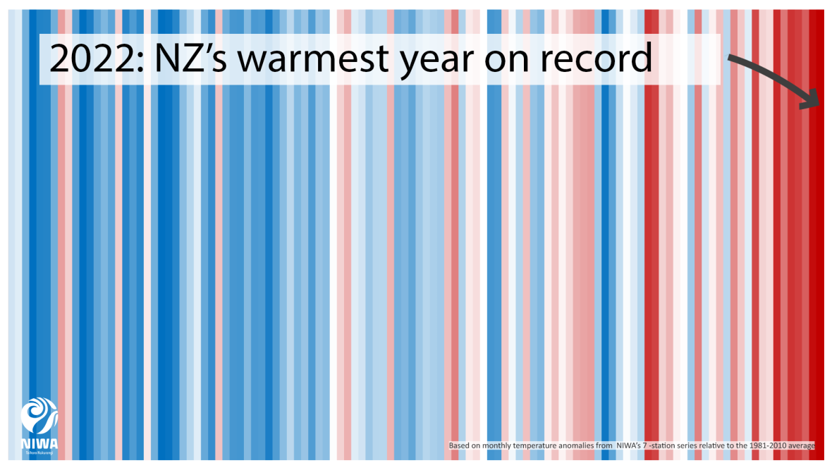
The latest Annual Climate Summary from the National Institute of Water and Atmospheric Research (NIWA) has confirmed that 2022 was Aotearoa New Zealand's warmest year since records began in 1909.
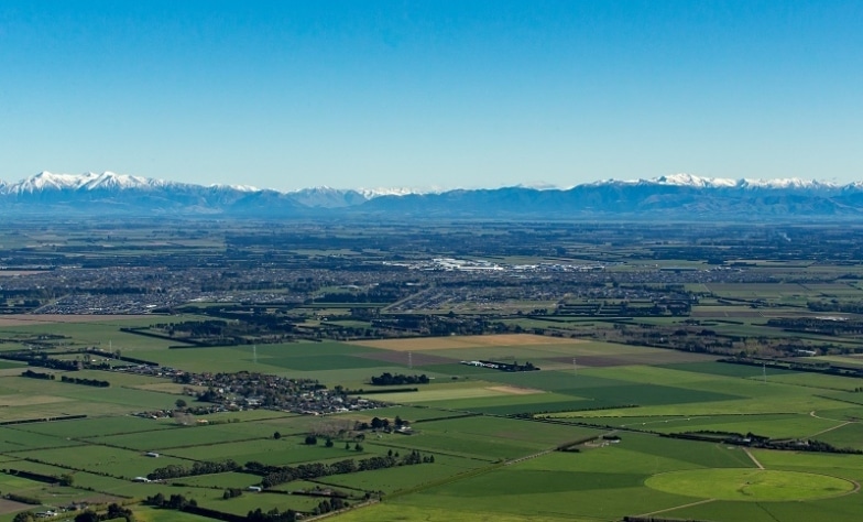
While Waitaha/Canterbury wasn’t as impacted by the worst of 2022’s extreme weather as other parts of the motu, the region did experience its fair share of atmospheric anomalies that were mentioned in NIWA’s report.
Temperature highs and lows across the motu
The nationwide average temperature for the year reached 13.76°C, topping the previous record (from 2021) by +0.2°C and the 1981-2010 annual average by +1.15°C. It’s a trend that has almost become an annual occurrence and is consistent with climate change projections, with the top four warmest years on record all happening since 2016.
In Waitaha/Canterbury, while we didn’t see a return of the high-30s days of the 2020/21 summer, Christchurch City, Rangiora (Waimakariri District), Aoraki/Mt Cook Village (Mackenzie District) and Le Bons Bay (Banks Peninsula) all experienced their highest mean minimum temperatures on record. Rangiora also experienced its highest extreme minimum temperature with 23.2°C on 3 February.
At the other end of the scale, Aoraki/Mt Cook Village shivered through -9.6°C on 6 September, NZ’s lowest recorded temperature for 2022 and the village’s lowest September daily minimum temperature since records began in 1929. In October, Arthur’s Pass (Selwyn District), Akaroa and Le Bons Bay all recorded their lowest temperatures for that month with -6.1°C, -2.3°C and -1.3°C respectively.
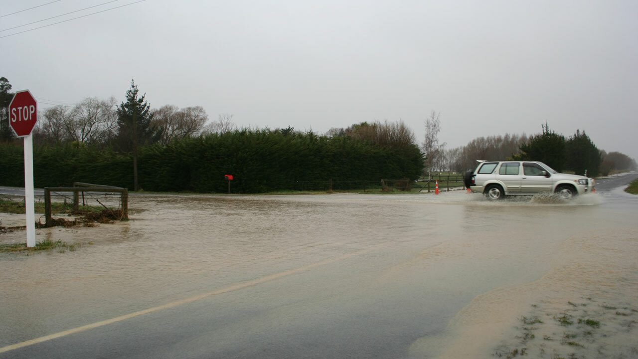
An unusually wet year
NIWA’s analysis places 2022 as NZ’s eighth-most unusually wet year since records began in 1960, with more rainfall than average in many parts of the country including some of Waitaha/Canterbury.
Of the six main centres, Christchurch saw the biggest deviation from the norm with 159% of the average annual rainfall (942mm across the year). Arthur’s Pass saw the country’s top daily rainfall total (excluding high elevation stations) with 282mm on November 2nd. In July, Aoraki/Mount Cook Village was hit with 371mm of rain, the wettest July day and third-wettest day overall since records began in 1928. The event caused flooding and a slip that closed SH8 and SH80, cutting the village off for a number of hours.
Mackenzie District also appeared in NIWA’s analysis on the other end of the rain spectrum, with Lake Tekapo experiencing the country’s longest prolonged dry spell (consecutive days with less than 1mm of rainfall), 44 days from 20 February to 4 April.
So will 2023 be another record-breaking year for our climate? NIWA notes that the La Niña phase of the past three years is likely to ease by early Autumn which may bring some reprieve, but as myriad other factors contribute to climate change we will likely just have to wait and see what the year brings.
Learn more about what you can do to help address the changing climate in Waitaha/Canterbury.